Belgrade Fortress and Town Field illustrated guide was designed in 2004 as a very detailed panoramic plan of Belgrade Fortress which contains three segments: the linear drawing of Belgrade Fortress, whole structure of Belgrade Fortress encompassing elements of infrastructure, transportation, together with the catering, commercial and recreation contents and a short text about historical development …
Continue reading “Belgrade Fortress and Town Field – Illustrated guide and poster”
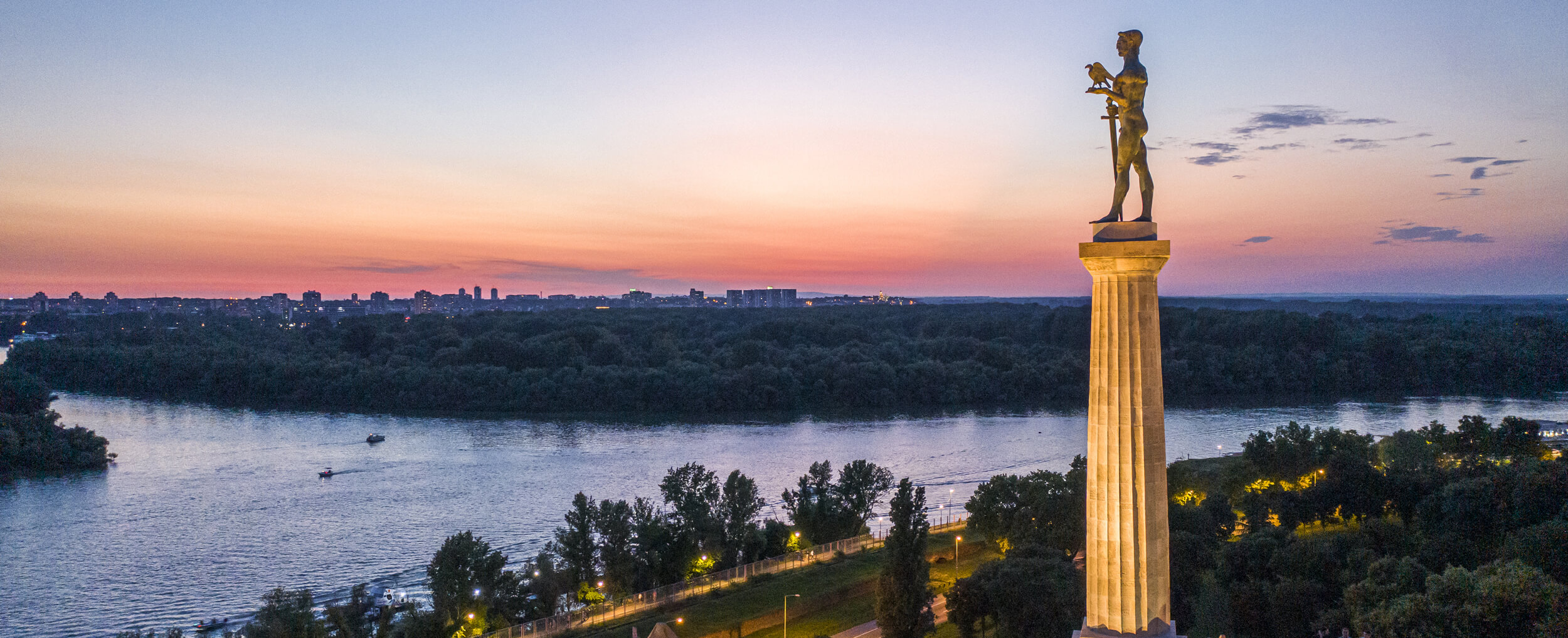
The map of Kalemegdan Park and Belgrade Fortress, with marked facilities and a text about the historical development of Belgrade Fortress, was published in 2005. It is designed to help the tourists orientate themselves easily. The map is also published in English and is sold in Belgrade Fortress Gallery. (price 120,00 din)
In the past two millenniums, owing to its strategic position, the Belgrade Fortress, being the place where different pretensions clashed, was involved in the main historical events, which have influenced the destinies of European people and countries. Presenting the money that belongs to different nations and epochs, in a circumstantial way, civilization and cultural variety …
Continue reading “Coins From the Belgrade Fortress (exhibition cataloge)”
Thanks to its position and its role in European events at the end of the 17th and 18th centuries, Belgrade figures among the cities most often presented on old maps. Up till now more then 450 different maps are known from that period, on which Belgrade fortress and details of its fortifications are most frequently …
Continue reading “Belgrade Fortress and Town on Old Maps (exhibition catalog)”
The works of students of the Faculty of Architecture, who tried to answer the question what would Belgrade look like if it continued to develop at the site of today`s Belgrade Fortress, were shown on the exhibition “Unfulfilled Dream of the White City.” Integral parts of the project, which was developed in the recent years, …
Continue reading “Dream Book of White Town`s Continuity”
The exhibition is part of a larger project which was launched by Public Enterprise “Belgrade Fortress” to the Fortress and the Remains of Fortified Towns, break out of oblivion and presented to the public as part of the cultural and historical heritage, but also as a possible tourist potential of the country. “Old fortifications had …
Continue reading “Fortresses and Remnanats of Fortified Towns in Serbia (exhibition catalog)”
Sorry, this entry is only available in Srpski and Српски.
Notes jotted down during walks in the Belgrade Fortress and Kalemegdan Park in the period between 2007 and 2008. “Gray and icy February morning. Few walkers walking quickly, doing a walk. The great Kalemegdan, not so far away from the fountain “Borba”; a girl in a light coat sitting on a bench. Across from her, …
Continue reading “Споменка Крајчевић – Калемегдан изблиза”
There are more than 20 fortified towns or remnants of former fortifications in Serbia today. It is our duty to our forefathers to cherish and preserve that wealth, although this is not an easy task, because many towns are neglected and ravaged by time.
Sorry, this entry is only available in Srpski and Српски.
This page uses cookies to provide you with the best user experience. If you continue to browse the page, you agree to the use of cookies.
I AGREE
READ MORE