
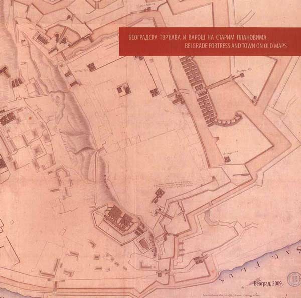
Thanks to its position and its role in European events at the end of the 17th and 18th centuries, Belgrade figures among the cities most often presented on old maps. Up till now more then 450 different maps are known from that period, on which Belgrade fortress and details of its fortifications are most frequently presented, as well as the city on the whole, often with the near surroundings and situations of siege with the distribution of troops.
The exhibition is realized from May 15th – June 18th 2009