May 15th – June 18th 2009
Sava Promenade, Kalemegdan Park
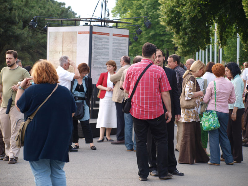
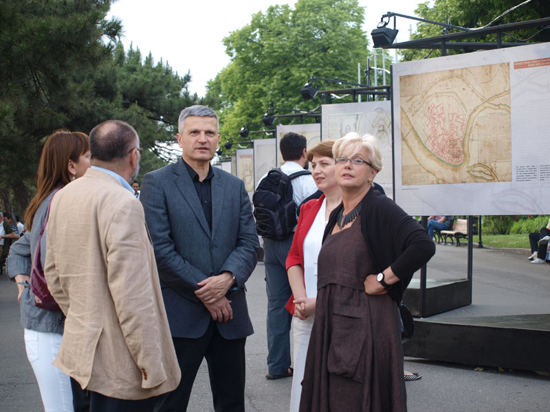
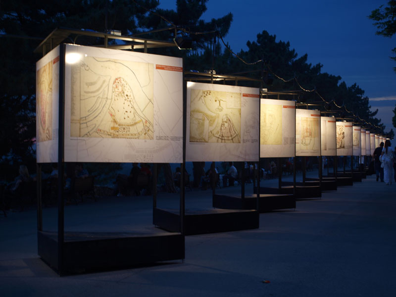
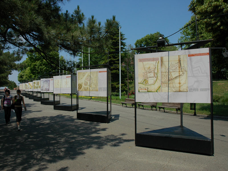
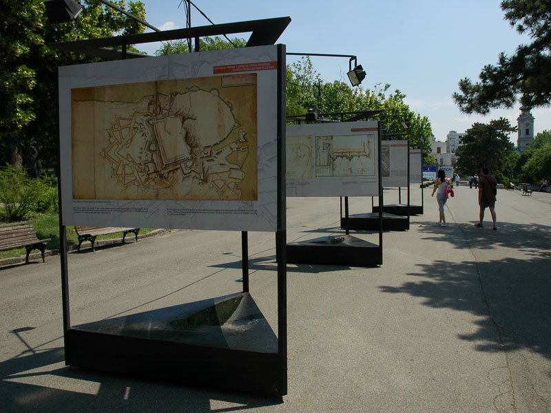
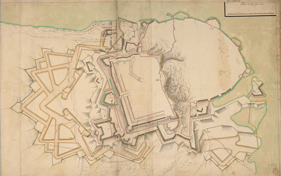
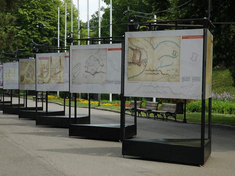
On 45 big size prints are presented old plans, cartographic and historical sources, extremely important for the study of the Belgrade fortress and the city in general.
“Thanks to its position and its role in European events at the end of the 17th and 18th centuries, Belgrade figures among the cities most often presented on old maps. Up till now more then 450 different maps are known from that period, on which Belgrade fortress and details of its fortifications are most frequently presented, as well as the city on the whole, often with the near surroundings and situations of siege with the distribution of troops”, from the exhibition catalogue, dr Marko Popovic
Exhibition author: Dr Marko Popovic / Program author: Predrag Djidic / Translation: Dragica Lompar / Design: Dobrila Stevanic / Production: PE „Belgrade fortress“.
Exhibition was accomplished with the Archaeologic Institut of the Serbian Academy of Science and Art.
The exhibition was made possible by the Secretariat for Culture City of Belgrade.